Manchester Geological Association
 Founded 1925
Field trip to Pott Shrigley, April 2013 - Stephen Proctor
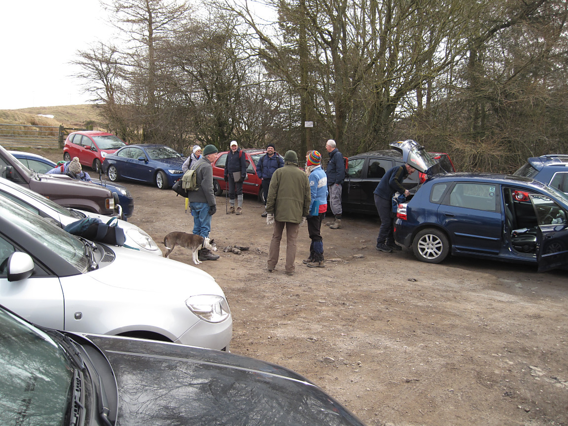
MGA members assembling...plus Lucy! |
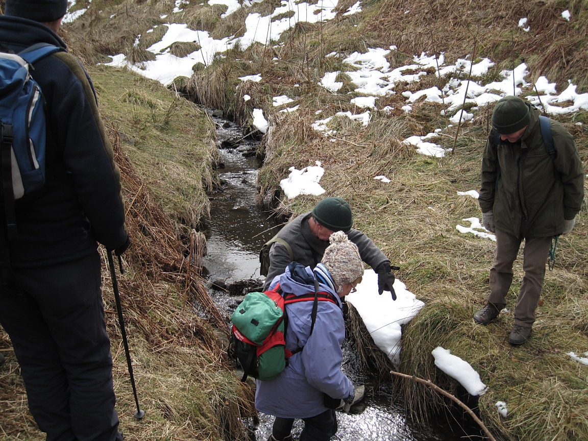
MGA members negotiating one of many stream crossings |
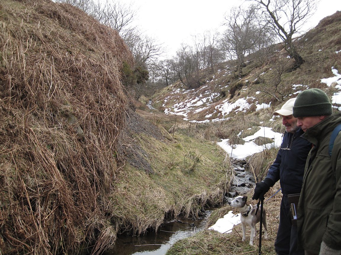
Paul Aplin and Derek Brumhead |
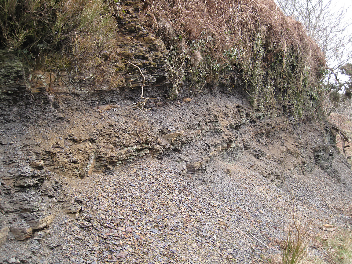
Finding the horizons of Siderite within the shale |

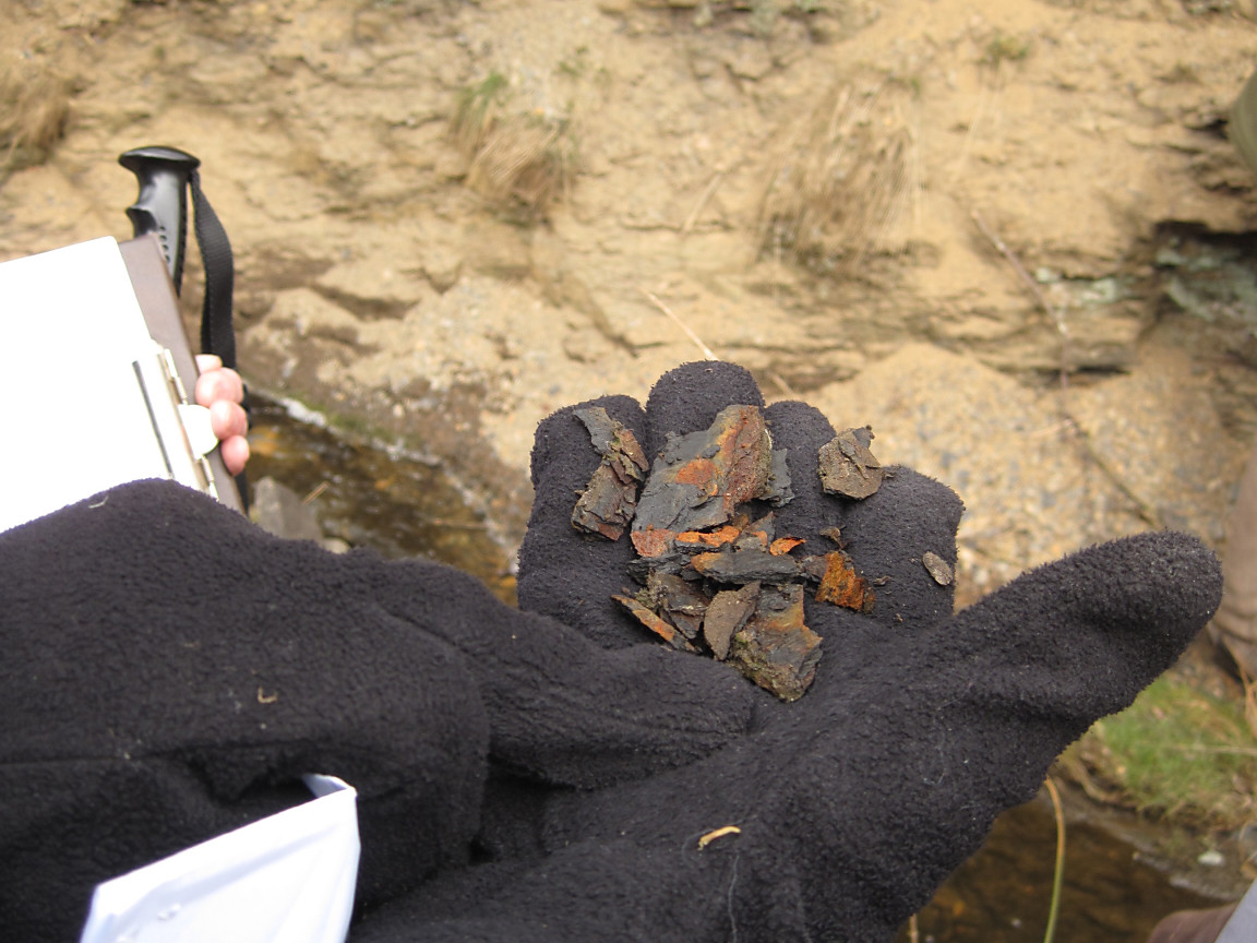
Typical elongated Siderite concretion |
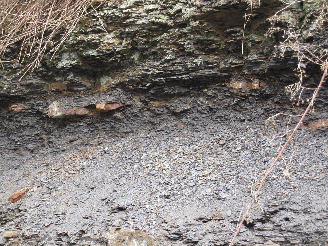
Horizon of Siderite easily seen |
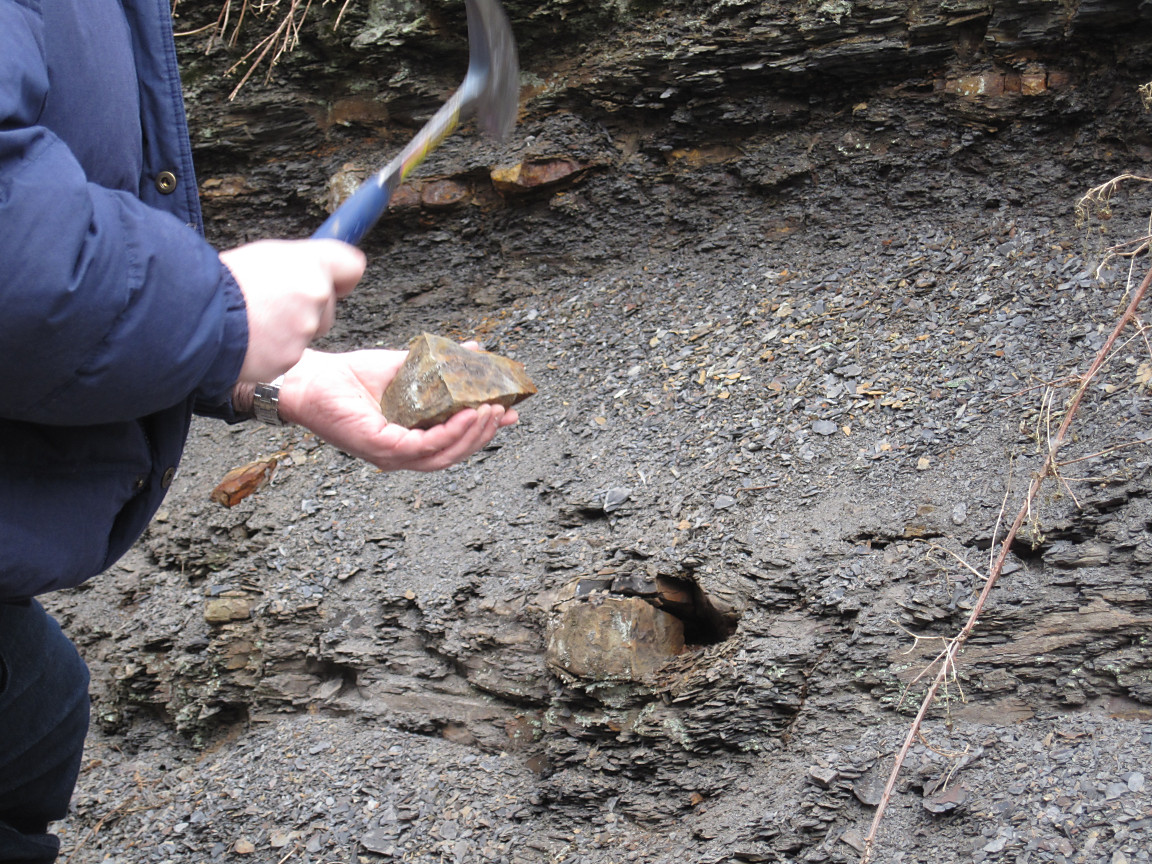
Steve Edwards producing a fine "ring" on the Siderite with the hammer! |
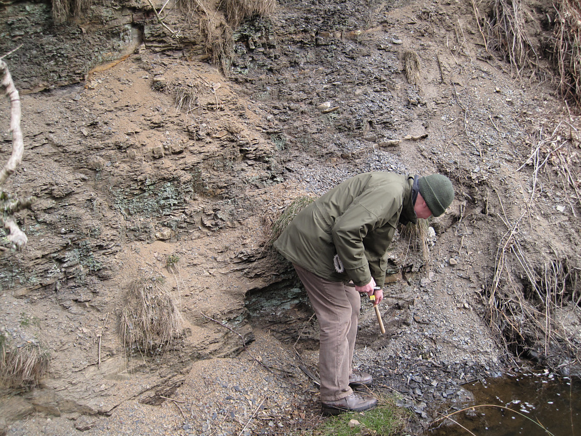
Paul Aplin demonstrating the Upper Foot Marine Band |
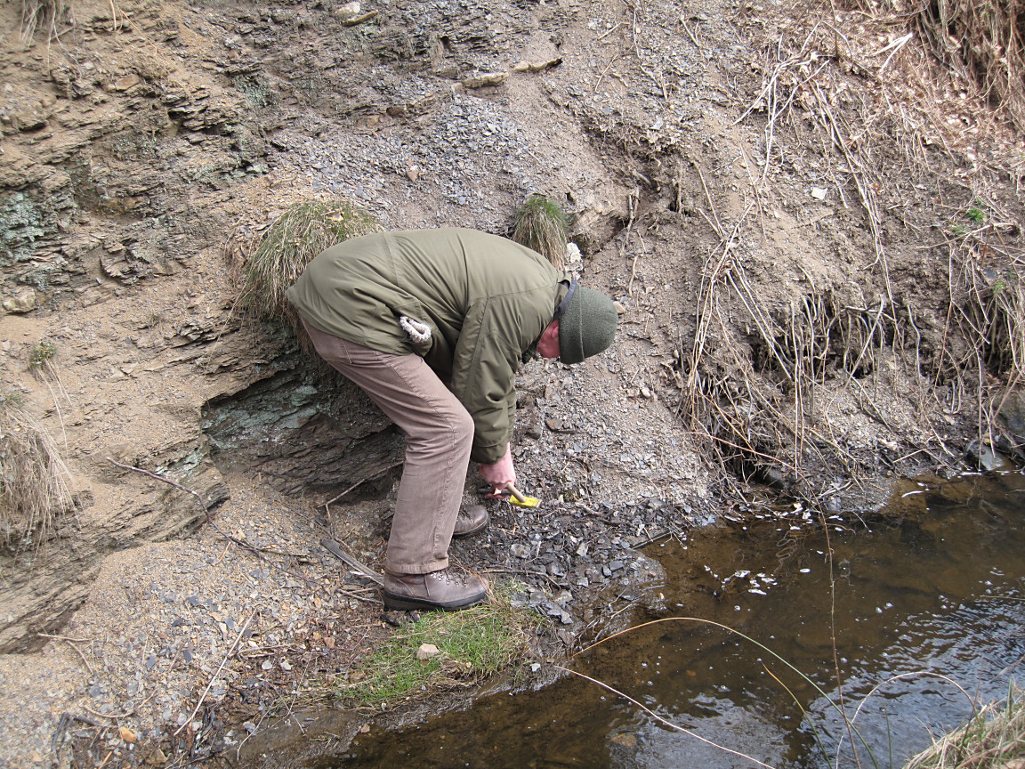
Paul Aplin finding numerous fossils for MGA members |
Samples from the Upper Foot Marine Band revealing evidence of Dunbarella |

The stream bed consisting of Ganister |
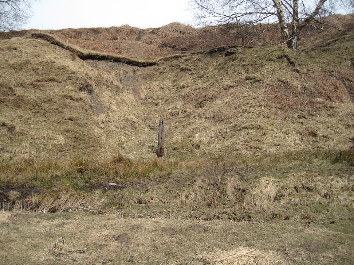
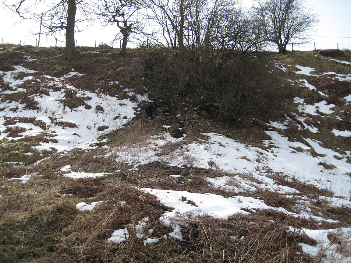
Post marking the site of the covered adit (OS Ref SD SD958795) |
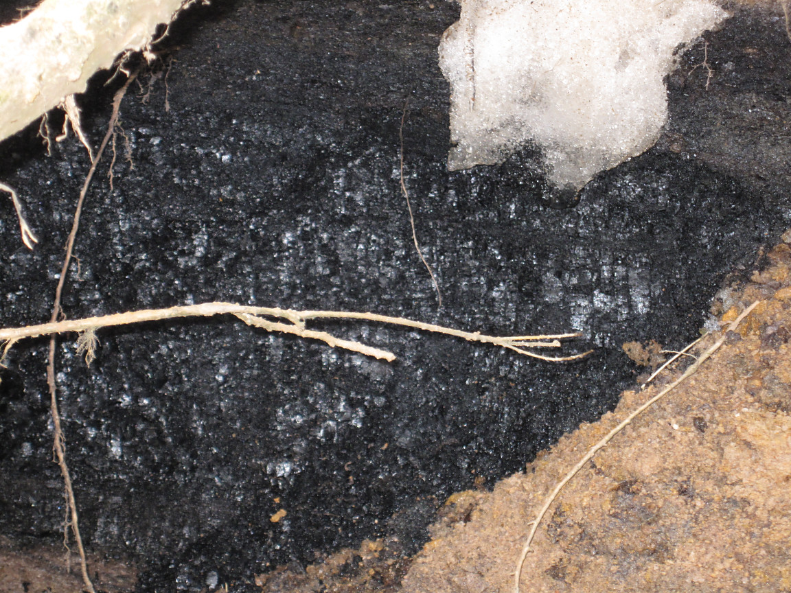
The coal seam found near the top of the north facing stream bank |
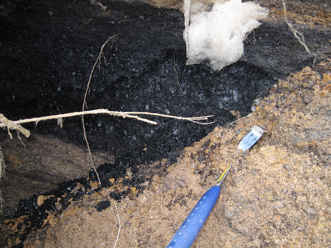
Coal seam with geological hammer for scaling |
MGA member scrambling up to the coal seam |

Paul Aplin describing the geology to MGA members just above the Water Pumping Station |
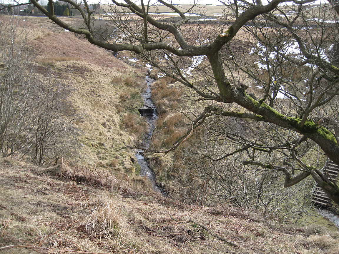
Stream bed just above the confluence of two streams |
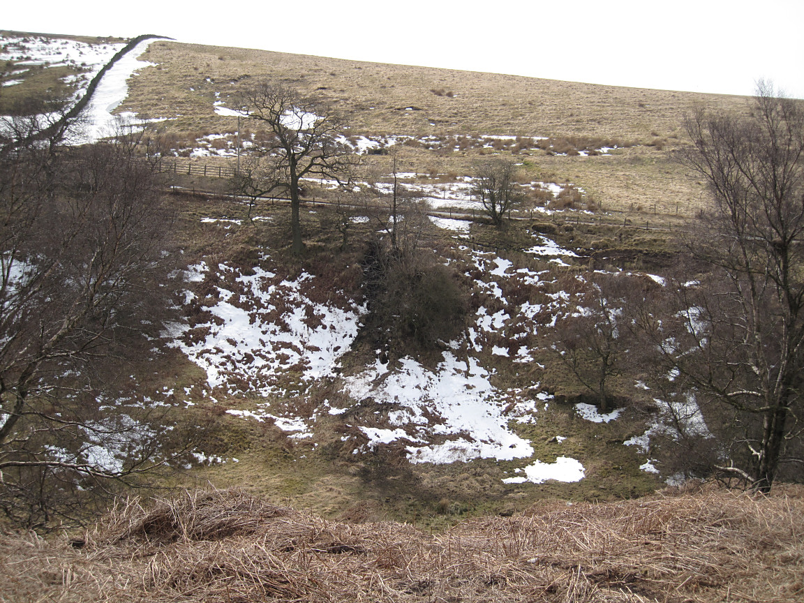
Standing above the old adit entrance viewing the site of the coal seam hidden by trees |

MGA members ascending to Bakestonedale Moor |
View SSW with Alderley Edge in the distance on the right |
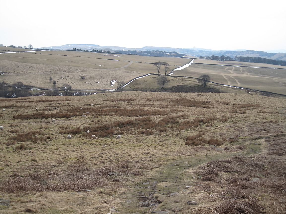
View over Bakestonedale Moor with scarp and dip slope in the distance |
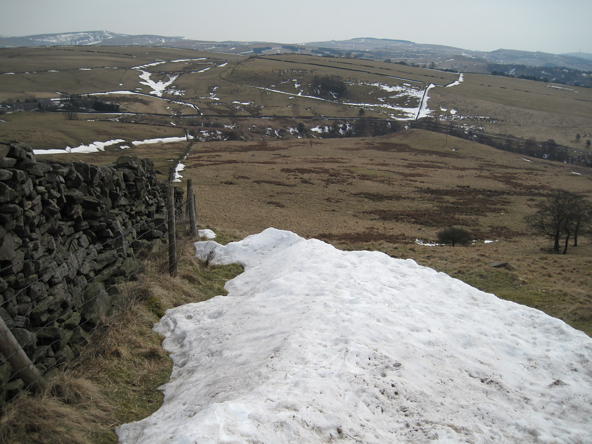
View over the snow on Bakestonedale Moor |
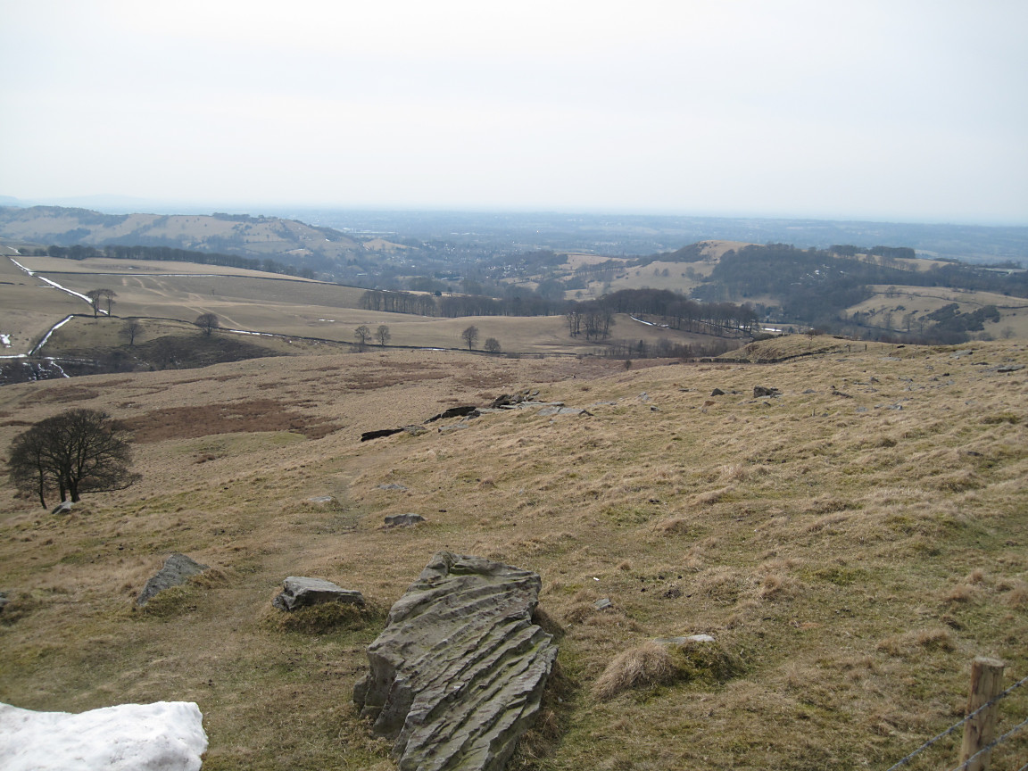
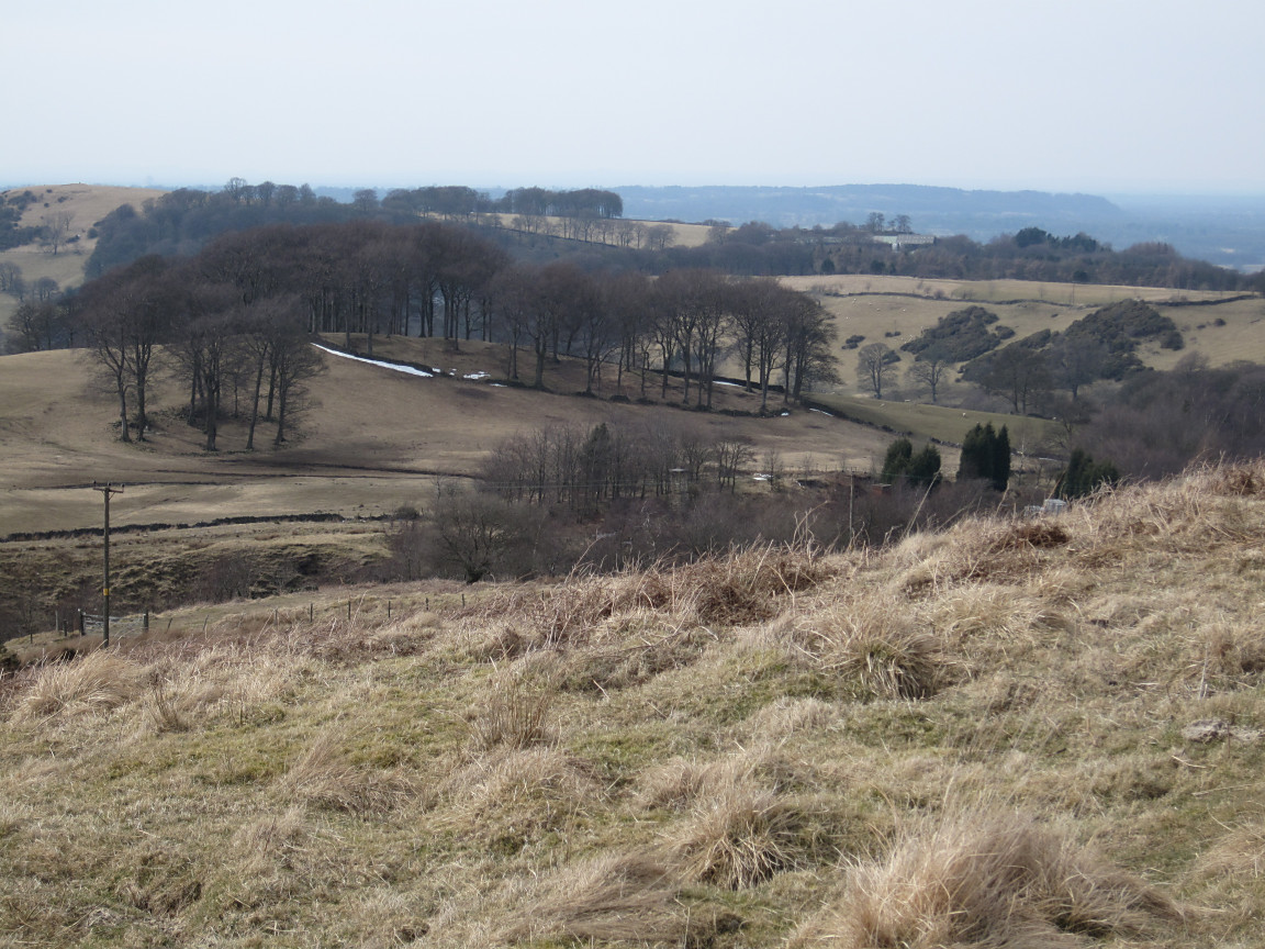
The Cheshire Plain in the distance over the village of Bollington |

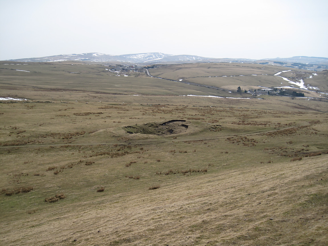
One of many sealed mine shaft entrances on Bakestonedale Moor |
MGA members discussing the most probable site of the horse gin |
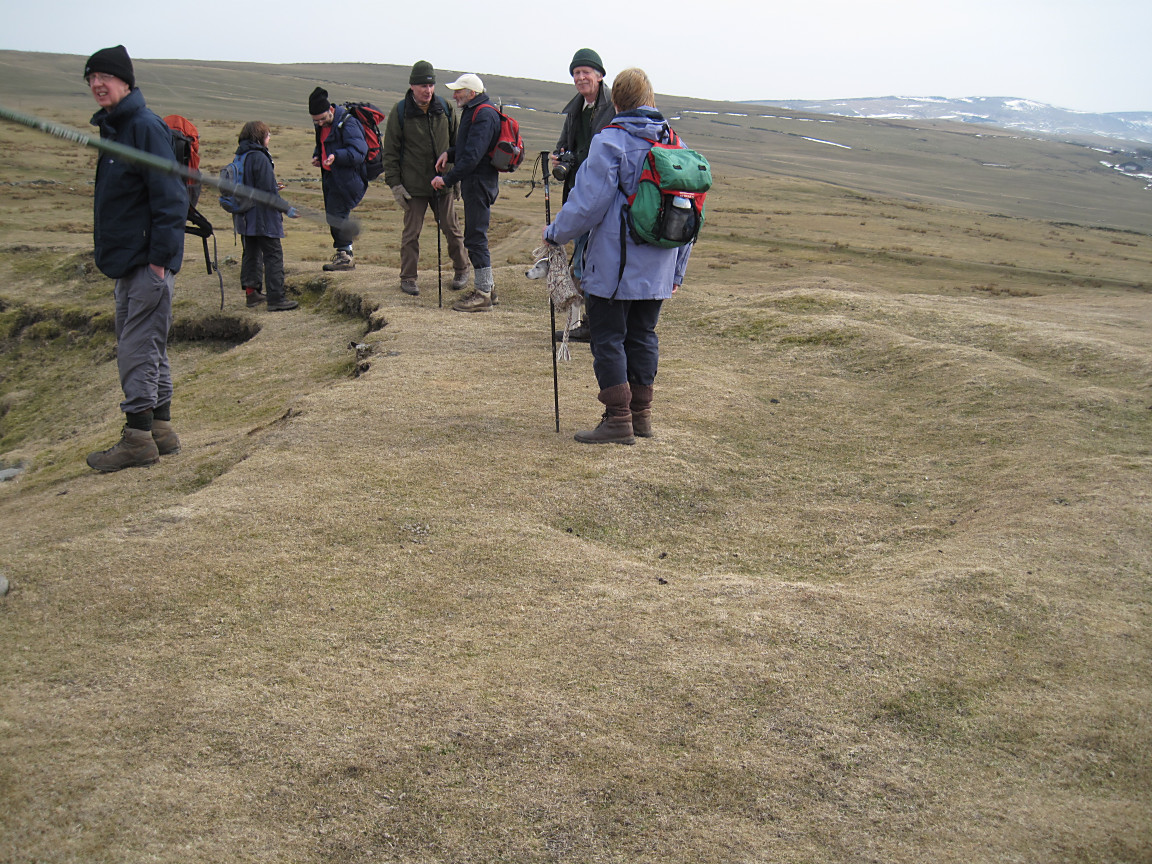
The walking pole points to the gin! |
View NE with several scarp and dip slopes in the distance |

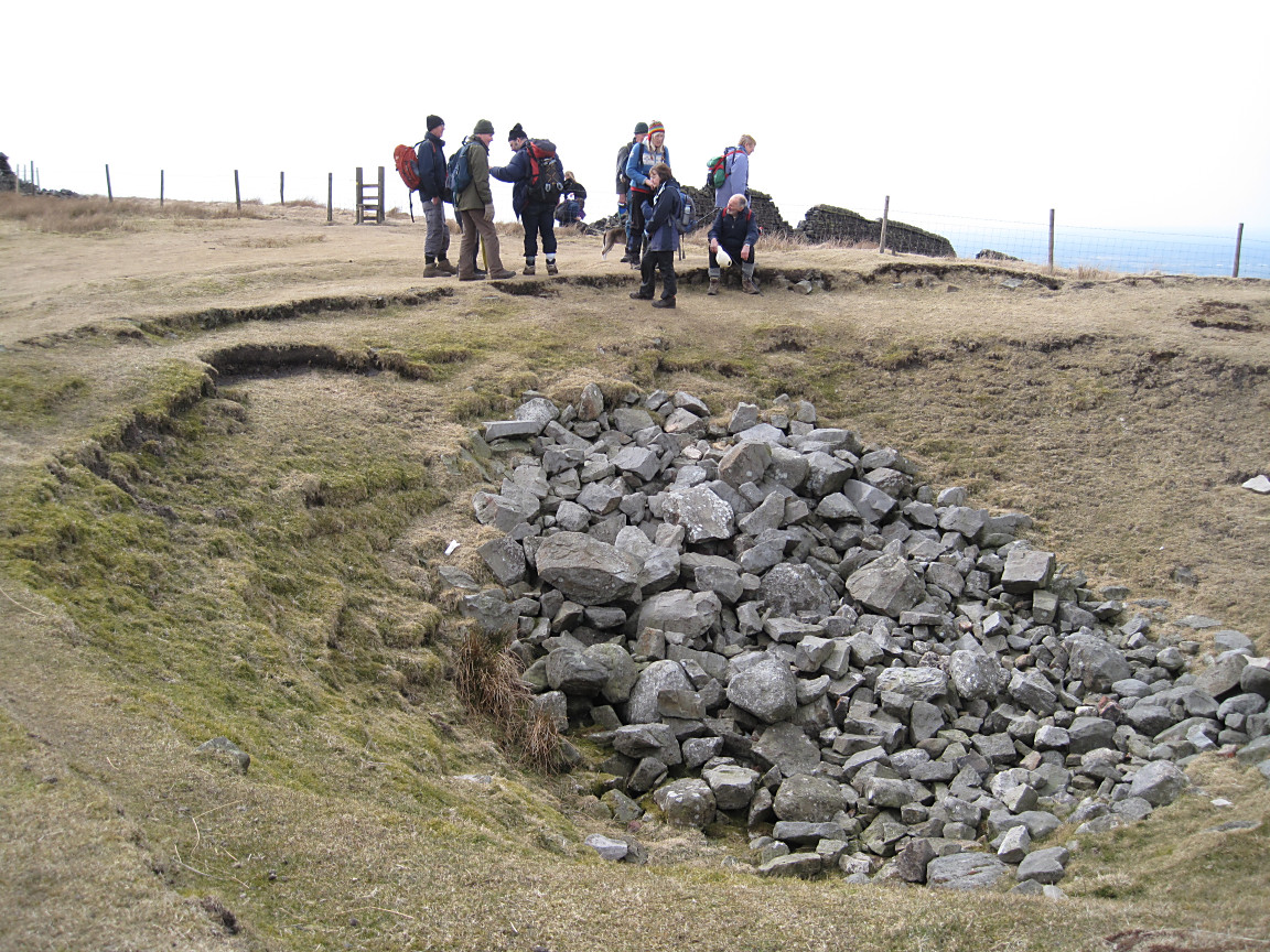
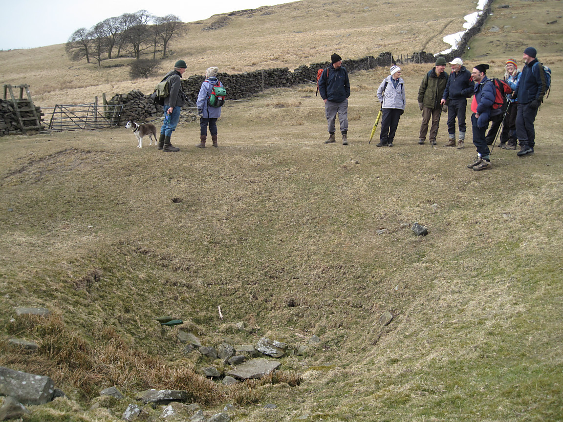
MGA members gathering around the last sealed mine shaft of the walk |
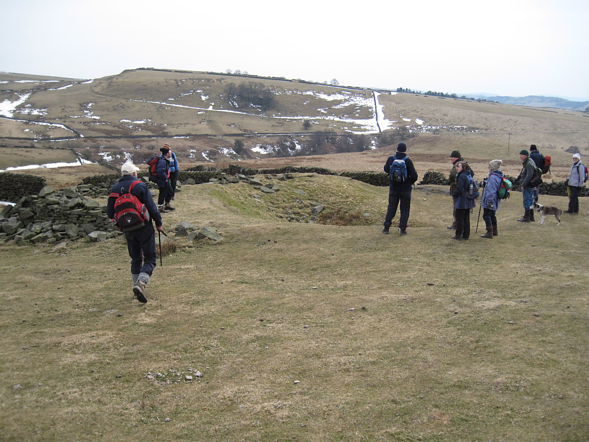
MGA members gathering around the last sealed mine shaft of the walk |
Near the end of an extremely enjoyable geology ramble! |